
In a world where spotting a hidden treasure feels like a scene from an action movie, thermal imaging drones are the unsung heroes. These high-tech gadgets don’t just fly; they see the world in a whole new way. Imagine having the ability to detect heat signatures from miles away while sipping your coffee—talk about multitasking!
Overview of Thermal Imaging Drones
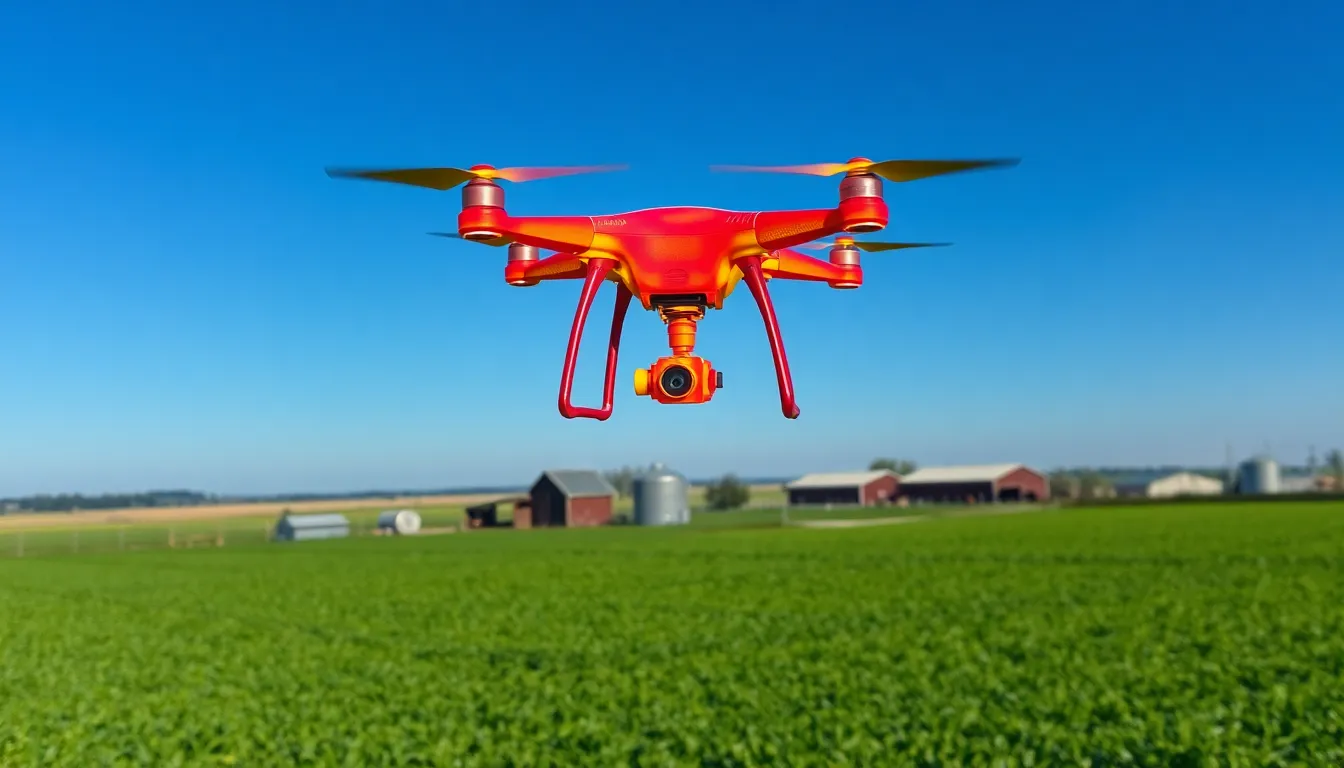
Thermal imaging drones are advanced tools designed to detect and visualize heat signatures from a distance. These drones use specialized cameras to provide unique perspectives and multitasking options in various applications.
What Are Thermal Imaging Drones?
Thermal imaging drones combine aerial technology with thermal cameras. These devices capture infrared radiation emitted by objects, allowing them to visualize heat differences. Common applications for these drones include search and rescue missions, building inspections, and wildlife monitoring. Industries leverage these tools for their ability to gather critical information quickly and efficiently.
How Do Thermal Imaging Drones Work?
Thermal imaging drones operate by utilizing infrared sensors. These sensors detect temperature variations in the environment and translate the data into images. Operators can analyze these images through a user-friendly interface, often in real-time. Thermal sensors measure wavelengths typically invisible to the naked eye, providing detailed thermal maps. Modern drones can incorporate GPS and data logging, enabling precise aerial surveys and enhanced analysis for users in various sectors.
Applications of Thermal Imaging Drones
Thermal imaging drones serve multiple industries by providing critical insights in various applications. Their unique abilities enhance operational efficiency and safety.
Search and Rescue Operations
Search and rescue missions increasingly rely on thermal imaging drones for their speed and effectiveness. These drones locate missing persons by detecting heat signatures, making them invaluable during nighttime operations. The capacity to generate real-time thermal images aids first responders in navigating challenging terrains. Drones equipped with thermal cameras help pinpoint survivors in disasters like earthquakes or avalanches. Their lightweight design allows for rapid deployment over large areas, significantly increasing the chances of successful rescues.
Agricultural Monitoring
In agriculture, thermal imaging drones facilitate precise monitoring of crops and livestock. Farmers use these drones to identify temperature variations within fields, revealing irrigation issues or plant health problems. They assess crop stress by capturing thermal images that indicate water needs or pest infestations. Regular drone surveys contribute to better yield predictions by providing extensive data on crop conditions. Consequently, farmers enhance resource management and optimize yields while minimizing costs.
Infrastructure Inspections
Thermal imaging drones streamline infrastructure inspections across various sectors. These drones assess conditions of roofs, electrical systems, and pipelines by detecting temperature anomalies. The ability to identify heat loss or equipment overheating enables proactive maintenance and extends asset lifespan. They provide comprehensive aerial perspectives, making it easier to inspect structures that are challenging to reach. Investing in thermal imaging technology results in improved safety and reduced operational downtime for businesses.
Benefits of Using Thermal Imaging Drones
Thermal imaging drones offer significant advantages across various applications. These benefits enhance operational efficiency, improve data collection, and prioritize safety.
Enhanced Data Collection
Enhanced data collection is one of the key benefits of thermal imaging drones. They capture thermal images and temperature data from various environments. Real-time data analysis becomes possible, allowing for instant decision-making. Drones equipped with thermal cameras help detect issues that traditional methods may overlook. For instance, in agriculture, farmers utilize these drones to assess crop health by identifying temperature variances. Search and rescue teams gain critical insights during operations, enabling them to locate missing persons efficiently. The integration of GPS and data logging further supports detailed aerial surveys, fostering comprehensive data management.
Cost-Effectiveness
Cost-effectiveness stands out as another prominent benefit of thermal imaging drones. Reducing manual labor expenses significantly lowers operational costs. Businesses can perform inspections faster and more safely compared to traditional methods. Aerial surveys minimize the time needed for data collection, leading to increased productivity. For instance, infrastructure inspections can occur without extensive scaffolding or downtime, saving money and resources. Furthermore, ongoing maintenance becomes more proactive, preventing costly emergencies. The ability to analyze large areas quickly adds to the overall cost savings, making thermal imaging drones an attractive investment for various industries.
Safety Improvements
Safety improvements mark a crucial advantage of using thermal imaging drones. These drones mitigate risks by allowing operators to inspect hazardous areas from a safe distance. Search and rescue efforts benefit as first responders deploy drones in challenging environments that may pose danger to personnel. The thermal imaging technology enables the detection of heat sources, ensuring a focused approach in locating missing individuals. Infrastructure inspections, too, enhance safety by identifying potential issues before they result in failures. By reducing the need for workers to operate in unsafe conditions, thermal imaging drones help companies establish a safer working environment across industries.
Limitations of Thermal Imaging Drones
Understanding the limitations of thermal imaging drones is essential for their effective use. Various factors can impact their performance in real-world applications.
Weather Conditions
Adverse weather conditions can significantly hinder the functionality of thermal imaging drones. Rain, fog, and heavy winds impair their ability to capture clear thermal images. Low temperatures can affect battery performance and sensor efficiency. While flying in high winds poses risks of losing control, precipitation reduces visibility, making operations challenging. Users must consider these environmental factors when planning missions to ensure optimal use of thermal imaging technology.
Battery Life Limitations
Battery life limitations present another challenge for thermal imaging drones. Most drones operate for 20 to 40 minutes on a single charge, depending on payload and environmental conditions. Extended operations require careful planning to manage battery power effectively. Frequent recharging interrupts workflow, particularly during critical missions. Operators should monitor battery levels closely to prevent unexpected downtime. Choosing drones with better battery technology can enhance operational efficiency and prolong flight times, enabling more comprehensive surveys and inspections.
Thermal imaging drones represent a significant advancement in aerial technology. Their ability to visualize heat signatures opens up new possibilities across various industries. Whether aiding in search and rescue missions or optimizing agricultural practices, these drones enhance efficiency and safety.
Despite their limitations, such as weather sensitivity and battery life, the benefits they offer far outweigh the challenges. As technology continues to evolve, the potential applications for thermal imaging drones will likely expand, making them indispensable tools in modern operations. Embracing this innovative technology can lead to improved outcomes and a safer environment for professionals in the field.


